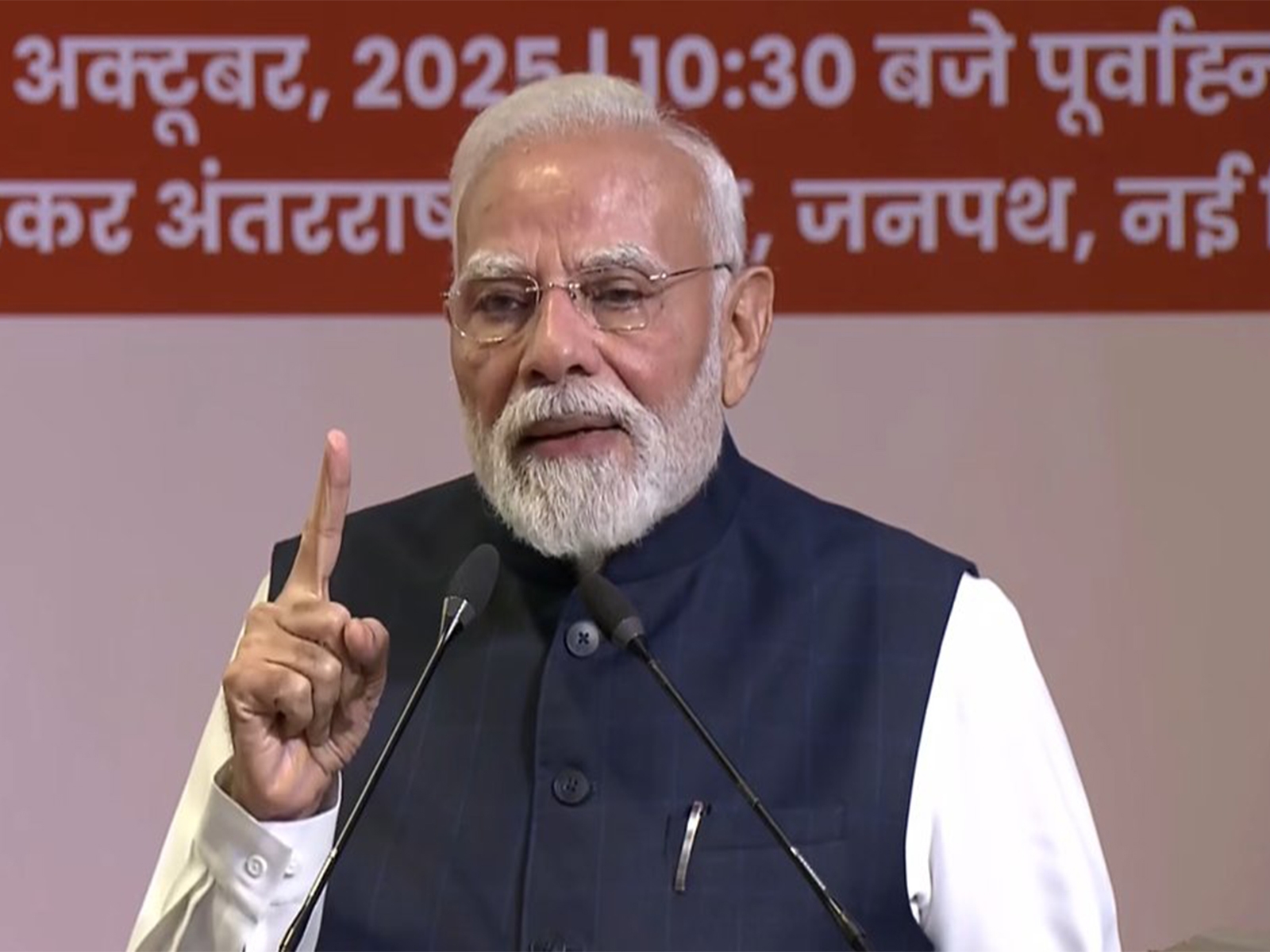
Union Minister of State for Space Jitendra Singh on 9 December informed the Lok Sabha that Indian Space Research Organisation (ISRO) has launched Remote Sensing Satellites in thematic series - Resourcesat, Cartosat and Radar Imaging Satellite (RISAT-1).
The images acquired by these satellites, in conjunction with field observations, are used for various applications in the area of agriculture development, which includes mapping and monitoring of agricultural crops and its condition, crop acreage estimation and production forecast, crop phenology and growth; site suitability for crops, cropping system analysis, watershed monitoring and management, command area management and drought assessment, he said.
These satellites are also used for varied applications in natural resource management, infrastructure planning and disaster management, he said.
He added that Space observatory ASTROSAT, recently launched by ISRO, carried five payloads to study the stars and galaxies in ultraviolet, optical and X-ray wavelength bands.
Various functions performed by ASTROSAT are pointing the instruments to view stars and galaxies; measuring the intensity and spectra of the source using onboard detectors; storing the measurements from the detector in the onboard storage; and transmission of the data to the Ground station for scientific analysis.


![BJP's Kapil Mishra recreates Shankar Mahadevan’s ‘Breathless’ song to highlight Delhi pollution [WATCH] BJP's Kapil Mishra recreates Shankar Mahadevan’s ‘Breathless’ song to highlight Delhi pollution [WATCH]](https://images.catchnews.com/upload/2022/11/03/kapil-mishra_240884_300x172.png)
![Anupam Kher shares pictures of his toned body on 67th birthday [MUST SEE] Anupam Kher shares pictures of his toned body on 67th birthday [MUST SEE]](https://images.catchnews.com/upload/2022/03/07/Anupam_kher_231145_300x172.jpg)


